Penataan Ruang Berbasis Mitigasi Bencana Kabupaten Kepulauan Mentawai
Main Article Content
Abstract
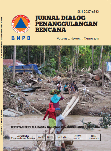
Events of magnitude 7.2 Richter Scale earthquake disaster on October 25, 2010 in the Mentawai Islands Regency cause tsunami tidal waves with height of 10-15 meters. Disaster has claimed many victims and great material losses. So the assessment of the impact of disaster and implementation of psace-based disaster mitigation do in order to reduce the risk of disasers that will happen later.
Based on field obeservations and analysis result, it is known that the area affected by the tsunami disaster with the worst damage has characteristics such as the area located at a distance of less than 200 meters from the coastline, located on the bay directly opposite to the source of tidal waves, have no oher islands as barrier tidal wave, have little or no vegetation dense enough as a barrier against the tidal wave, and have no evacuation facivilites are adequate and easily accessible. Therefore, the design of space-based disaster mitigation in the Mentawai Islands Regency to reduce the impact of the tsunami can be divided into conservation zones and buffer zones are located at a distance of 200-300 meters from the coastline and the free zones at an altitude above of 25 meters.
Article Details

This work is licensed under a Creative Commons Attribution-ShareAlike 4.0 International License.

