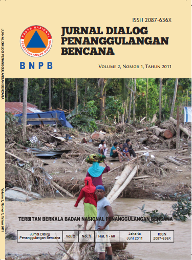
Analisis Risiko Bencana Tanah Longsor di Kabupaten Karanganyar, Provinsi Jawa
Main Article Content
Abstract
The district of Karanganyar was formed by high morphology. Fragile of immature volcanic rocks and thickness of weathering soil and supported by high rainfall are potential condition causing landslide. The increasing number of population and intensive usage of land caused high risk of landslide. Landslides have occurred many times in the Districs of Karanganyar. The combination factors of anthropogenic and nature are often as reasons of the landslide that killed local inhabitants and property losses. Heavy landslide has occurred in Karanganyar on December 26, 2007 that claimed 62 people died.
A research on analysis of landslide risk if conducted by including some major components, i.e. hazard, susceptibility, and capacity. A qualitative approach is applied to conduct the analysis in the Districs of Karanganyar. An output of the research is a map landslide risk. The analysis of lanslide risk is carried out a 3 selected-locations that have experienced landslide and have potential of such disaster in the Districs of Karanganyar. Result of he research on this topic is expected to be socialized so that the local government is able to draft a plan of susatainable development.
Article Details

This work is licensed under a Creative Commons Attribution-ShareAlike 4.0 International License.

