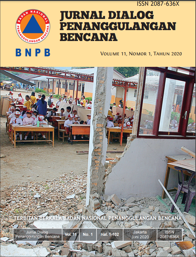
Penilaian Bangunan Sederhana di Kawasan Rawan Gempabumi Studi Kasus di Kota Bengkulu dan Kabupaten Bengkulu Tengah
Main Article Content
Abstract
The large number of casualties and property losses are not directly caused by the earthquake. It is more due to the damage and collapsed buildings. The simple building assessment is carried out to assess the potential vulnerability of the one floor buildings/houses visually. The results then overlay with the earthquake potential hazard to produce buildings/houses risk index. This assessment is using Simple Building Rapid Assessment Application (ACeBS) compiled by BNPB in collaboration with the Earthquake Museum of Yogyakarta Province. The user can access the application which is currently integrated with the InaRisk Personal via Android. Central Bengkulu Regency and Bengkulu City that lies at a high index earthquake hazard-zone between two main sources of earthquake: subduction zone in the Southwest part and Semangko Fault in the Northeast area have been selected as research areas. The results show that respectively 71% of houses/buildings in Bengkulu City are in a state of high risk and 29% are in a state of moderate risk. Besides, in Central Bengkulu Regency, 63% of houses/buildings are in a state of high risk and 37% are in moderate risk. The vulnerability of buildings/houses is caused by various things ranging from structural issues, reinforcement, and the quality of building materials.
Article Details

This work is licensed under a Creative Commons Attribution-ShareAlike 4.0 International License.
References
BNPB. (2015). InaRisk-Portal Kajian Risiko Bencana (InaRisk Data Service). BNPB. Retrieved from https://inarisk.bnpb.go.id
BNPB. (2018). Infografis dampak gempabumi Lombok: Kaleidoskop Kejadian Bencana 2018 dan Proyeksi Bencana 2019.

